
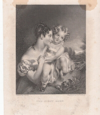
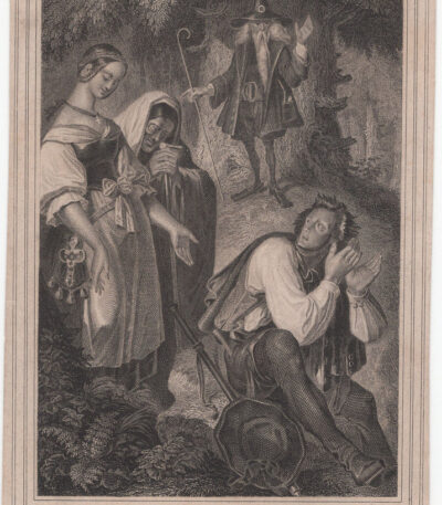
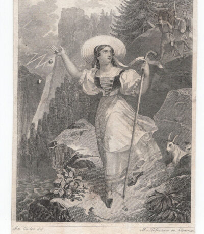
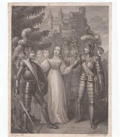
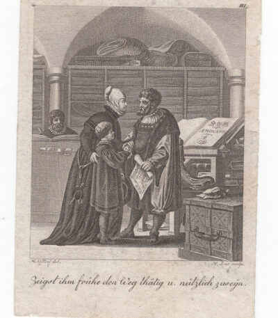
Small
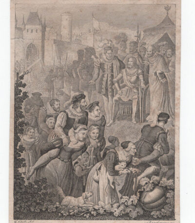
Small engraving from the 18th-19th century
20,00 €Small engraving from the 18th-19th century it is a work of approximately 7x10 cm, made on the copper plate with reduced margins.
This engraving depicts a life scene with perfectly delineated characters, comparable to excellent miniatures.
- Sheet size: cm. 7×10 approx.
- Condition: Excellent
- Support: Paper
Considered a precious furnishing accessory, it is ideal to be framed and enhanced.
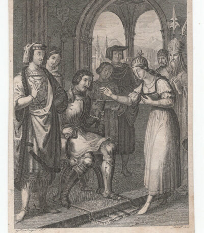
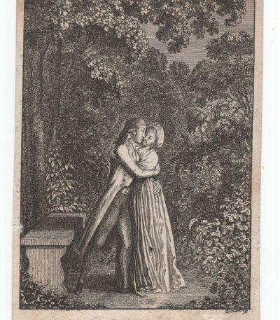
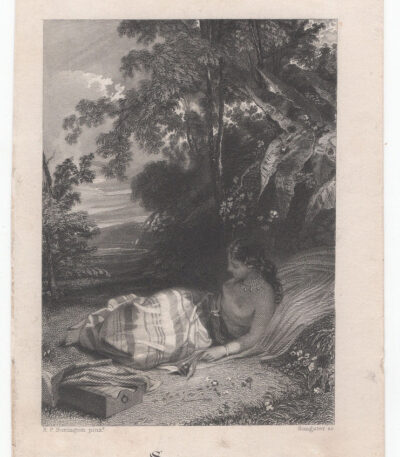
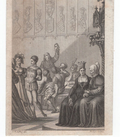
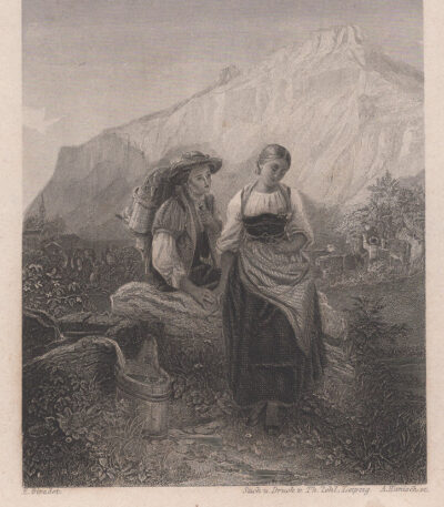
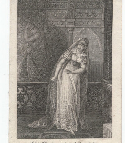
Small engraving from the 18th-19th century
20,00 €Small engraving from the 18th-19th century it is a work of approximately 8x11 cm, characterised by smaller margins and a white back.
This engraving depicts a life scene with perfectly delineated characters, comparable to excellent miniatures.
- Sheet size: cm. 8×11 approx.
- Condition: Excellent
- Support: Paper
Considered a precious furnishing accessory, it is ideal to be framed and enhanced.
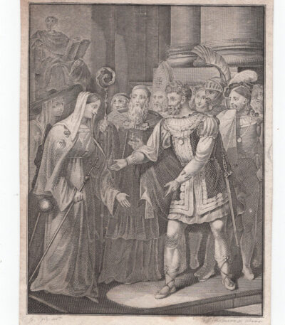
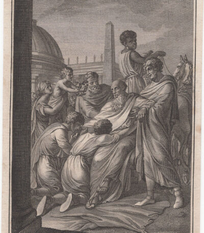
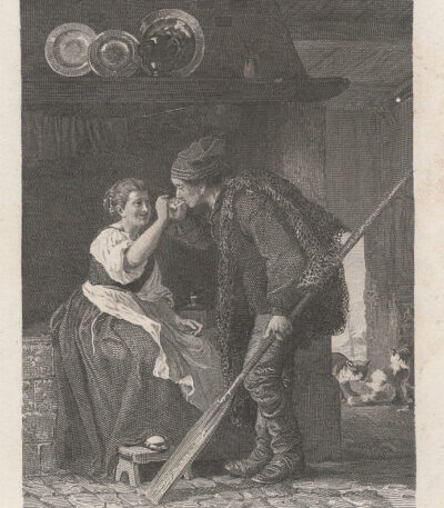
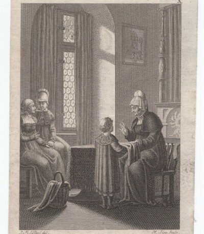
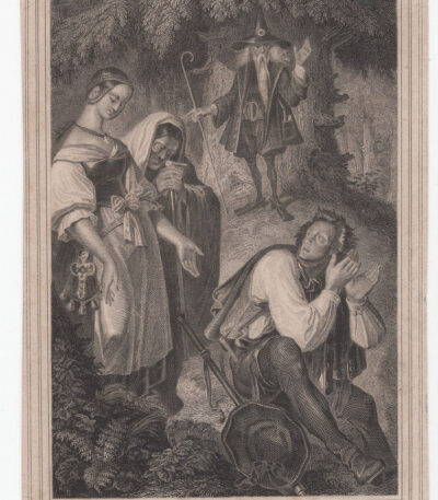
Small engraving from the 18th-19th century
20,00 €Small engraving from the 18th-19th century it is a work of approximately 8x11 cm, characterised by small margins and a white back.
This engraving depicts a life scene with finely outlined characters, comparable to high quality miniatures.
- Sheet size: cm. 8×11 approx.
- Condition: Excellent
- Support: Paper
Considered a precious furnishing accessory, it is ideal to be framed and enhanced.
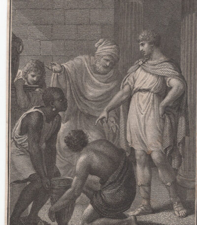
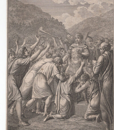
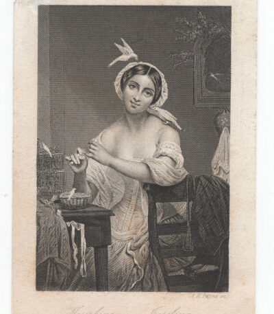
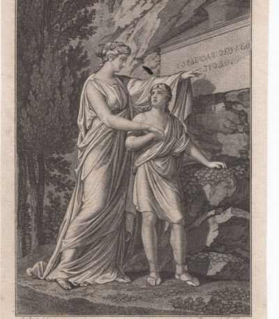
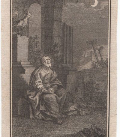
Small engraving from the 18th-19th century
20,00 €Small engraving from the 18th-19th century approximately 9x12 cm, at the copper edge, with smaller margins and white back.
This engraving depicts a life scene and stands out for its excellent workmanship, with perfectly delineated characters, comparable to excellent miniatures.
It is a work that can be framed and considered a precious furnishing accessory.
- Sheet size: cm. 9×12 approx.
- Support: Paper
- Condition: Excellent state of preservation
Small engraving from the 18th-19th century
20,00 €Small engraving from the 18th-19th century it is a work of approximately 8x11 cm, characterised by small margins and a white back.
This engraving depicts a life scene with beautifully delineated characters, comparable to excellent miniatures.
It is a piece of excellent workmanship, ideal for framing and considered a precious furnishing accessory.
- Sheet size: cm. 8×11 approx.
- Condition: Excellent state of preservation
- Support: Paper
Small engraving from the 18th-19th century
20,00 €Small engraving from the 18th-19th century it is a work of approximately 9x12 cm, made by beating the copper.
This engraving has smaller margins and a white back, depicting a life scene with perfectly delineated characters, comparable to excellent miniatures.
- Sheet size: cm. 9×12 approx.
- Condition: Excellent
- Support: Paper
Considered a precious furnishing accessory, this engraving is ideal for being framed and enhanced.
Small engraving from the 18th-19th century
20,00 €Small engraving from the 18th-19th century it is a work of approximately 8x11 cm, made by beating the copper.
This engraving has smaller margins and a white back, depicting a life scene with perfectly delineated characters, comparable to excellent miniatures.
- Sheet size: cm. 8×11 approx.
- Condition: Excellent
- Support: Paper
A work of excellent workmanship that can be framed and considered a precious furnishing accessory.

Small engraving from the 18th-19th century
20,00 €Small engraving from the 18th-19th century it is a work of approximately 7x10 cm, characterised by smaller margins and made by beating the copper.
This engraving depicts a life scene with perfectly delineated characters, comparable to excellent miniatures.
It is a piece of excellent workmanship, ideal for framing and considering as a precious furnishing accessory.
Small engraving from the 18th-19th century
20,00 €Small engraving from the 18th-19th century it is a work of approximately 9x12 cm, made by beating the copper.
This engraving has smaller margins and a white back, depicting a life scene with perfectly delineated characters, comparable to excellent miniatures.
- Sheet size: cm. 9×12 approx.
- Condition: Excellent
- Support: Paper
Considered a precious furnishing accessory, this engraving is ideal for framing.
Small engraving from the 18th-19th century
20,00 €Small engraving from the 18th-19th century it is a work of approximately 8x11 cm, characterised by small margins and a white back.
This engraving depicts a life scene with well-defined characters, comparable to high-quality miniatures.
It is a work of excellent workmanship che può essere incorniciata e considerata un prezioso complemento d’arredo.
Small engraving from the 18th-19th century
20,00 €Small engraving from the 18th-19th century it is a work of approximately 8x11 cm, made by beating the copper.
This engraving has smaller margins and a white back, depicting a life scene with perfectly delineated characters, comparable to excellent miniatures.
- Sheet size: cm. 8×11 approx.
- Condition: Excellent
- Support: Paper
Considerata un prezioso complemento d’arredo, questa incisione è ideale da incorniciare.
Small engraving from the 18th-19th century
20,00 €Small engraving from the 18th-19th century it is a work of approximately 7x10 cm, made on the copper plate with smaller margins.
This engraving depicts a life scene with perfectly delineated characters, comparable to excellent miniatures.
- Sheet size: cm. 7×10 approx.
- Condition: Excellent
- Support: Paper
Considered a precious furnishing accessory, it is ideal to be framed and appreciated in any environment.
Small engraving from the 18th-19th century
20,00 €Small engraving from the 18th-19th century it is a work of approximately 8x11 cm, characterised by small margins and a white back.
This engraving depicts a life scene with well-defined characters, comparable to high-quality miniatures.
It is a piece of excellent workmanship, ideal for framing and using as a precious furnishing accessory.
- Sheet size: cm. 8×11 approx.
- Support: Paper
- Condition: Excellent
Small engraving from the 18th-19th century
20,00 €Small engraving from the 18th-19th century it is a work of approximately 7x10 cm, made on the copper plate with reduced margins.
This engraving depicts a life scene with perfectly delineated characters, comparable to excellent miniatures.
- Sheet size: cm. 7×10 approx.
- Condition: Excellent
- Support: Paper
Considered a precious furnishing accessory, it is ideal for framing.
Small engraving from the 18th-19th century
20,00 €Small engraving from the 18th-19th century it is a work of approximately 7x10 cm, made on the copper plate, with smaller margins.
This engraving depicts a life scene and stands out for its excellent workmanship, with perfectly delineated characters, comparable to excellent miniatures.
- Sheet size: cm. 7×10 approx.
- Condition: Excellent
- Support: Paper
Considered a precious furnishing accessory, it is ideal for being framed and enhanced.
Small engraving from the 18th-19th century
20,00 €Small engraving from the 18th-19th century it is a work of approximately 9x12 cm, made by beating the copper.
This engraving has smaller margins and a white back, depicting a life scene with perfectly delineated characters, comparable to excellent miniatures.
- Sheet size: cm. 9×12 approx.
- Condition: Excellent
- Support: Paper
A work of excellent workmanship, ideal for framing and considered as a precious furnishing accessory.
Small engraving from the 18th-19th century
20,00 €Small engraving from the 18th-19th century it is a work of approximately 8x11 cm, characterised by smaller margins and a white back.
This engraving depicts a life scene with perfectly delineated characters, comparable to excellent miniatures.
- Sheet size: cm. 8×11 approx.
- Condition: Excellent
- Support: Paper
Considered a precious furnishing accessory, it is ideal to be framed and enhanced.
Small engraving from the 18th-19th century
20,00 €Small engraving from the 18th-19th century è un’opera d’arte di cm. 9×12 circa, realizzata alla battuta del rame.
This engraving has smaller margins and a white back, depicting a life scene with perfectly delineated characters, comparable to excellent miniatures.
- Sheet size: cm. 9×12 approx.
- Condition: Excellent
- Support: Paper
Considerata un prezioso complemento d’arredamento, questa incisione è ideale per essere incorniciata e valorizzata nel tuo spazio.
Small engraving from the 18th-19th century
20,00 €Small engraving from the 18th-19th century it is a work of approximately 9x12 cm, made by beating the copper.
This engraving has smaller margins and a white back, depicting a life scene with perfectly delineated characters, comparable to excellent miniatures.
- Sheet size: cm. 9×12 approx.
- Condition: Excellent state of preservation
- Support: Paper
Considered a precious furnishing accessory, it is ideal for framing.
Small engraving from the 18th-19th century
20,00 €Small engraving from the 18th-19th century it is a work of approximately 9x12 cm, made by beating the copper.
This engraving has smaller margins and a white back, depicting a life scene with perfectly delineated characters, comparable to excellent miniatures.
- Sheet size: cm. 9×12 approx.
- Condition: Excellent state of preservation
- Support: Paper
Considered a precious furnishing accessory, this engraving is ideal for framing.
Small engraving from the 18th-19th century
20,00 €Small engraving from the 18th-19th century it is a work of approximately 7x10 cm, at the edge of the copper, with smaller margins.
This engraving depicts a life scene with perfectly delineated characters, comparable to excellent miniatures.
- Sheet size: Small
- Condition: Excellent
- Support: Paper
Considered a precious furnishing accessory, it is ideal for framing.
Small engraving from the 18th-19th century
20,00 €Small engraving from the 18th-19th century it is a work of approximately 8x11 cm, characterised by small margins and a white back.
This engraving depicts a life scene with finely outlined characters, comparable to high quality miniatures.
It is a piece of excellent workmanship, ideal for framing and considered a precious furnishing accessory.
- Sheet size: cm. 8×11 approx.
- Condition: Excellent
- Support: Paper

Small engraving from the 18th-19th century
20,00 €Small engraving from the 18th-19th century it is a work of approximately 8x11 cm, characterised by small margins and a white back.
This engraving depicts a life scene con personaggi splendidamente delineati, paragonabili a miniature di alta qualità.
- Sheet size: cm. 8×11 approx.
- Condition: Excellent state of preservation
- Support: Paper
Considerata un prezioso complemento d’arredo, questa incisione è ideale per essere incorniciata e valorizzata in qualsiasi ambiente.
