Italy

Showing all 16 results

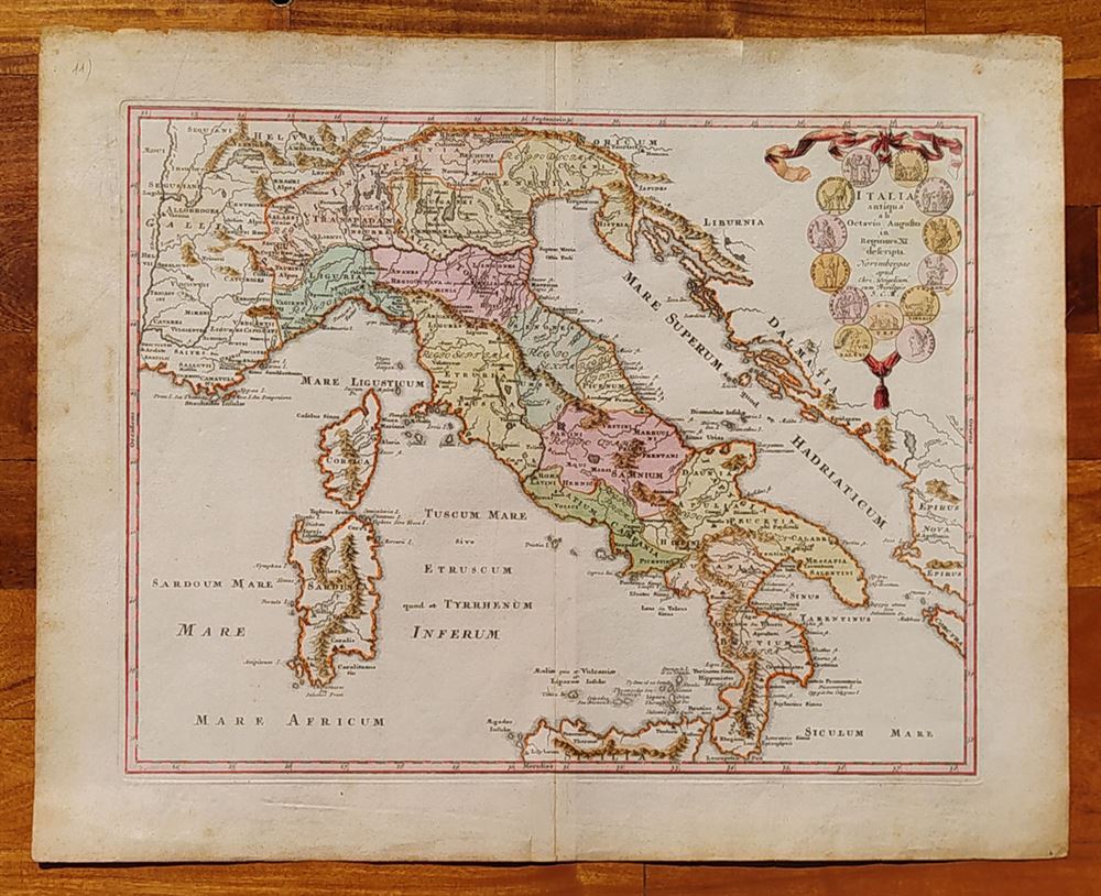
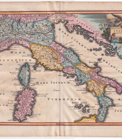
1718, Southern Italy, C.Weigel

220,00 

1718, Southern Italy it's a lithography with contemporary watercolour, made by C. Weigel.
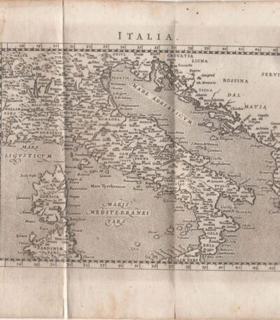
This map represents ancient Italy from Octavian Augustus in Regions XI described.

  • Place of publication: Nuremberg
  • Year of publication: 1718
  • Sheet size: cm. 39×47
  • Condition: Excellent, with editorial center fold
  • Rarity: Rare representation, with excellent colouring

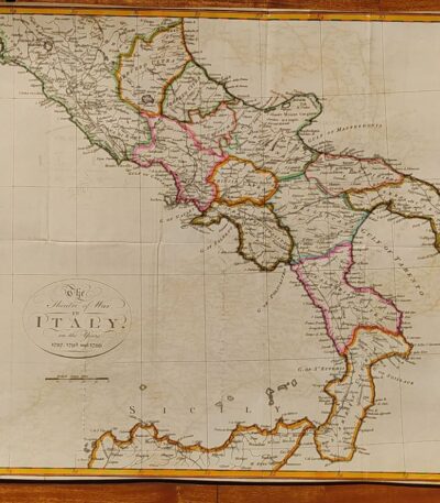
1800, Map of Southern Italy

120,00 

1800, Map of Southern Italy It is a hand-colored lithograph representing The Theater of War in Italy in the years 1797, 1798 and 1799.
This map offers a rare and detailed view of the conflict, with exceptional colouring that enhances the details.

  • Sheet size: cm. 38×45
  • Condition: Excellent condition
  • Technique: Lithography
  • Support: Paper

1800, Map of Southern Italy

80,00 

1800, Map of Southern Italy it is a lithograph that represents The Theatre of War in Italy in the years 1797, 1798 and 1799.
This map offers a rare and detailed view of the war context of the time, making it a piece of great historical interest.

  • Sheet size: cm. 38×45 approx.
  • Technique: Lithography
  • Condition: Excellent condition
  • Support: Paper

1800, Map of Northern Italy

120,00 

Map of Northern Italy It is a lithograph made in 1800, representing the theatre of war in Italy during the campaigns of 1796 and 1799.
This hand-colored map is a rare historical representation with exceptional coloring.

  • Sheet size: cm. 41×65
  • Condition: Excellent, with some editorial creases
  • Technique: Lithography
  • Support: Paper

1800, Map of Northern Italy

80,00 

1800, Map of Northern Italy It is a lithograph representing a detailed map of the theatre of war in Italy during the campaigns of 1796 and 1799.
This rare representation offers a fascinating glimpse into the historical events of that period.

  • Sheet size: cm. 41×65
  • Condition: Excellent, with some editorial creases
  • Support: Paper

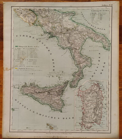
1855, Map of Southern Italy

80,00 

1855, Map of Southern Italy It is a lithograph made by C. Flemming, published in 1855.
This map represents Southern Italy and Sardinia, and was produced by Berghaus, Heinrich and Sohr, Karl.

  • Sheet size: cm. 44×37
  • Coloration: Contemporary with the outline
  • Condition: Excellent condition
  • Rarity: Rare representation with excellent coloring

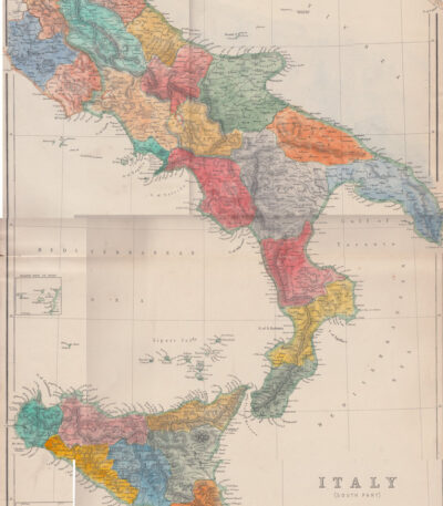
1860, Colored map of Central and Southern Italy

80,00 

1860, Colored map of Central and Southern Italy is a steel engraving published in 1860 by Blackie & Son, London, for The Imperial Atlas of Modern Geography by Walter Graham Blackie.
This map has been hand colored with watercolor and features a central editorial fold.

  • Sheet size: cm. 54×37
  • Support: Strong paper
  • Condition: Excellent condition

The back is white.

1861, Map of Southern Italy

60,00 

1861, Map of Southern Italy It is a historical map representing the regions of Southern Italy, including Sicily, Sardinia and Corsica.
This card was made by Reichard and is part of the volume Ancient Earth Orb, published circa 1861.

  • Sheet size: cm. 33×39
  • Coloration: Manual
  • Condition: Excellent condition
  • Rarity: Rare representation with excellent coloring

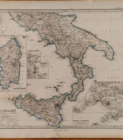
1874, Map of Southern Italy

80,00 

1874, Map of Southern Italy It is a copper engraving made by Jungmann for Stieler, published in Gotha by Justus Perthes in 1874.
This detailed map shows the regions of Naples, Sardinia, Palermo and the Strait of Messina, and is part of the work Hand Atlas by A. Stieler.

  • Sheet size: cm. 38×46 approx.
  • Engraving size: cm. 33×40 approx.
  • Support: Paper
  • Condition: Good condition, with a light damp stain in the lower corner

The map features contemporary contour colouring, which enhances its historical and artistic value.

Bay, Pozzuoli, Christopher Weigel, 1719

120,00 

Bay, Pozzuoli It is an engraving made by Christopher Weigel In the 1719, which represents the famous town of Pozzuoli in Campania.
This work is an example of an original copper engraving, with beautiful colouring contemporary with the watercolour, which enhances the details.

  • Sheet size: cm. 37,5×28,5 approx.
  • Support: Laid paper with watermark
  • Condition: Good condition, with some stains on the front and back and a thin, almost invisible lesion at the bottom

Cellarius, Italy, 1701

180,00 

Cellarius, Italy, 1701 è una pregiata incisione su rame che rappresenta una dettagliata carta dell’Italia.
This work is taken from Notitia Orbis Antiqui sive Geographia Plenior by Christophorus Cellarius, published in 1701.

  • Sheet size: cm. 24×33 approx.
  • Engraving size: cm. 20×30 approx.
  • Support: Paper
  • Condition: Excellent state of preservation
  • Coloration: Colorata a mano

Questa rara rappresentazione è caratterizzata da una ottima coloritura e offre una visione affascinante dell’Italia del XVII secolo.

Cellarius, Map of Italy, 1701

180,00 

Cellarius, Mappa dell’Italia è un’incisione su rame realizzata nel 1701, che rappresenta una mappa dettagliata dell’Italia secondo la divisione di Augusto Cesare.
This work is taken from the volume Notitia Orbis Antiqui sive Geographia Plenior by Christophorus Cellarius.

  • Sheet size: cm. 24×33 approx.
  • Engraving size: cm. 20×30 approx.
  • Support: Paper
  • Condition: Excellent state of preservation

Rara rappresentazione, con ottima coloritura, che rende questa mappa un pezzo pregiato per collezionisti e appassionati di geografia storica.

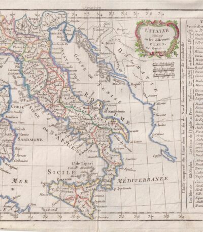
Italy, CF Delamarche, 1816

80,00 

Italy è un’incisione su rame colorata al contorno realizzata da C.F. Delamarche nel 1816.
Questa mappa dell’Italia è tratta dal Petit Atlas Moderne ou Collection de Cartes Elementaires, dedicated to youth and published in Paris by Delamarche.

  • Sheet size: cm. 21×27
  • Condition: Good condition, with some peeling and a central editorial crease
  • Support: Paper

Kitchin Large map of Italy from 1755 contemporary colouring cm.50×60

60,00 

Mappa dell’Italia è un’incisione cartografica realizzata da Thomas Kitchin, noto cartografo britannico del XVIII secolo.
La mappa, di ampie dimensioni e decorata con una raffinata colorazione coeva, offre una rappresentazione dettagliata della penisola italiana, evidenziando confini, città principali e caratteristiche geografiche dell’epoca. Realizzata su carta spessa di alta qualità, testimonia la maestria tecnica e l’accuratezza delle opere di Kitchin, apprezzato in tutta Europa per il suo contributo alla cartografia.

  • Era: 18th century
  • Technique: Incisione su rame con colorazione coeva
  • Dimensions: Grandi (circa 60×50 cm)
  • Support: Thick paper
  • Condition: Excellent

Questa mappa rappresenta un prezioso oggetto da collezione, perfetto per arricchire una raccolta di cartografia storica o per studiosi interessati all’evoluzione geografica dell’Italia.

Map of Italy, Scotus, 1761

120,00 

Mappa dell’Italia it is a copper engraving made by Francesco Scotto in 1761.
This map is taken from the work Itinerary of Italy, published in Rome at the expense of Fausto Amidei, Book Merchant.

  • Sheet size: cm. 18×23 approx.
  • Engraving size: cm. 12×18 approx.
  • Support: Laid paper
  • Condition: Excellent state of preservation
  • Folds: Editorials

Philippus Cluverius (1580-1622), Liguria, 1686

80,00 

Philippus Cluverius è un’incisione in rame acquarellata realizzata nel 1686, rappresentante la Liguria, Italia Settentrionale.
This work is taken from the volume Introductionis in universam geographiam, tam veterem quam novam, libri VI, published in Amsterdam.

  • Sheet size: mm. 134×140
  • Support: Laid paper with partial watermark
  • Condition: Excellent condition

Explore the fascinating world of antique prints

Antique prints are silent witnesses of history, capable of transporting us to distant eras through the art of engraving. Our e-commerce offers a vast selection of these precious finds, carefully selected for their authenticity and artistic value. Whether you are an expert collector or a novice enthusiast, you will find unique pieces here that will enrich your spaces with a touch of timeless elegance.

A safe and rewarding shopping experience

We understand the importance of each individual print and are committed to ensuring a flawless purchasing experience. Our secure payment system and insured shipping with professional packaging ensure that each piece arrives in the best condition. Our expertise in the sector allows us to offer detailed descriptions and personalized advice, helping you to make informed choices. If you have any questions or specific requests, do not hesitate to contact us: we will be happy to guide you into the wonderful world of antique prints.