Burin

Showing 1081–1104 of 2090 results

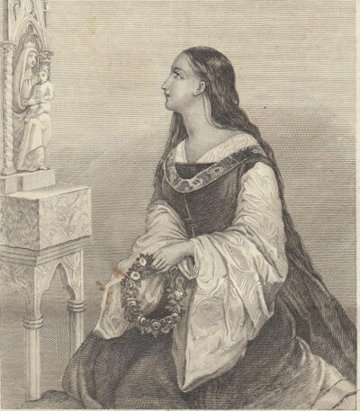
Manetta De’ Peregalli, 1843

15,00 

Manetta De’ Peregalli è un’incisione in rame originale realizzata nel 1843, tratta dall’opera Picturesque Omnibus, published in Naples.
Questa incisione misura cm. 12×15 e presenta un retro stampato, con la stampa estratta dal libro e una scritta sul retro.

  • Sheet size: cm. 12×15 approx.
  • Support: Paper
  • Condition: Excellent

La stampa verrà spedita insieme all’intera pagina del libro contenente l’incisione.

Mantua, 1834 Te Palace

20,00 

Mantua, 1834 – Te Palace It is an engraving made with the technique of burin on steel, representing the famous Palazzo del Te in Mantua.
This work is taken from Italy, Sicily, the Aeolian Islands, etc., first Italian edition by Audot père, published in Turin by Giuseppe Pomba in 1834.

  • Size of the joke: mm. 115×80
  • Margins: almost absent
  • Back: white
  • Condition: excellent condition

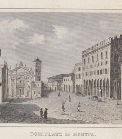
Mantua, Cathedral Square, 1835

25,00 

Mantua, Cathedral Square It is a copper engraving made in 1835.
This work is taken from C. Strahlheim – Die Wundermappe oder sämmtliche Kunst- und Natur-Wunder des ganzen Erdballs, published in Frankfurt am Main.

  • Sheet size: cm. 11×14 approx.
  • Engraving size: cm. 7.5×10 approx.
  • Support: Paper
  • Condition: Excellent condition

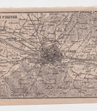
Mappa dei dintorni di Firenze, 1873

25,00 

Mappa dei dintorni di Firenze It is a copper engraving made in 1873.
This map is taken from the Guide in Italy, edited by Cav. PE Sacchi and published by the Artaria company of Milan.
Sul retro è presente un’area bianca, mentre a lato si trova la legenda dei siti più importanti della città.

  • Sheet size: cm. 15.5x9.5 approx.
  • Condition: Excellent condition
  • Support: Paper

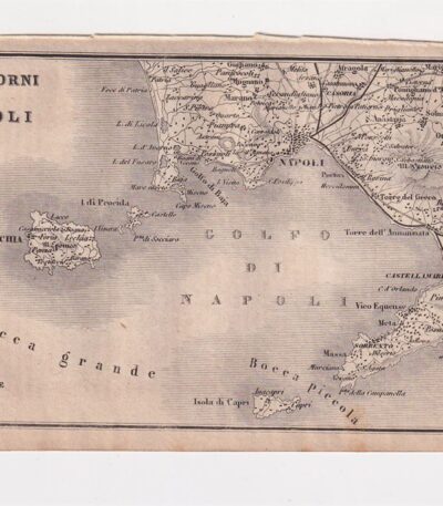
Mappa dei dintorni di Napoli, 1873

25,00 

Mappa dei dintorni di Napoli è un’incisione su rame realizzata nel 1873, che rappresenta la città di Napoli e l’Italia meridionale.
This map is taken from the publication Guide in Italy, curata dal cav. P.E. Sacchi e stampata dalla ditta Artaria di Milano.

  • Sheet size: cm. 15.5x9.5 approx.
  • Support: Paper
  • Condition: Excellent condition

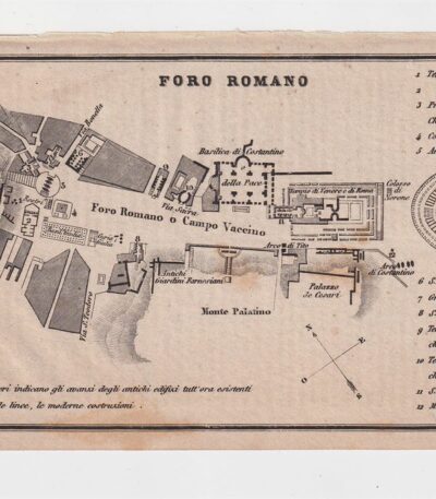
Map of the Roman Forum, 1873

25,00 

Map of the Roman Forum It is a copper engraving made in 1873.
This map, taken from the Guide in Italy edited by Cav. PE Sacchi and published by the Artaria company of Milan, offers a detailed representation of the Roman Forum.

  • Sheet size: cm. 15.5x9.5 approx.
  • Support: Paper
  • Condition: Excellent state of preservation
  • Characteristics: White back with legend of the most important sites of the city

Map of Egypt, 1821

25,00 

Map of Egypt It is a small geographical map made in 1821.
This copper engraving was hand-watercoloured and measures approximately 9 x 9 cm, on a sheet of 13 x 15 cm.

  • Back: White
  • Taken from: French text from 1821
  • Condition: Excellent condition

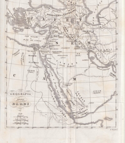
Mappa dell’Egitto, 1846

30,00 

Map of Egypt è un’incisione in rame realizzata nel 1846, che rappresenta non solo l’Egitto, ma anche la Siria, Israele, Giordania, Turchia e Arabia Saudita.
This map is taken from the Storia Universale di Cesare Cantù, pubblicata a Torino presso gli Editori Giuseppe Pomba & C.

  • Sheet size: cm. 20×24 approx.
  • Technique: Burin
  • Condition: Buone condizioni, con varie pieghe editoriali
  • Support: Paper

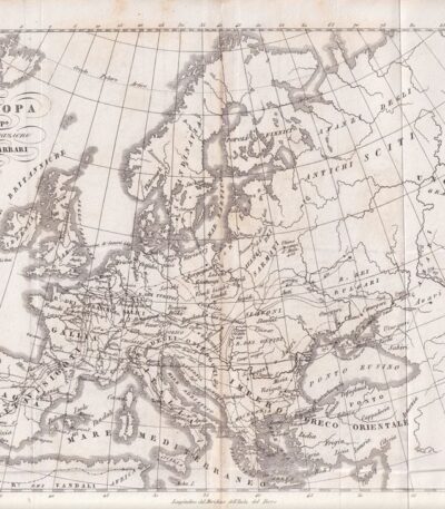
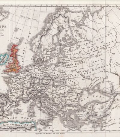
Mappa dell’Europa, 1846

30,00 

Mappa dell’Europa, 1846 è un’incisione in rame che rappresenta l’Europa dopo la migrazione dei Barbari.
This map is taken from the Storia Universale di Cesare Cantù, pubblicata a Torino presso gli Editori Giuseppe Pomba & C nel 1846.

  • Sheet size: cm. 20×24 approx.
  • Condition: Buone condizioni, con varie pieghe editoriali
  • Support: Paper

Mappa dell’Europa, 1846

40,00 

Mappa dell’Europa, 1846 è un’incisione in rame che rappresenta l’Europa al tempo delle Crociate.
This map is taken from the Storia Universale di Cesare Cantù, pubblicata a Torino presso gli Editori Giuseppe Pomba & C nel 1846.

  • Sheet size: cm. 20×24 approx.
  • Technique: Burin
  • Condition: Buone condizioni, con varie pieghe editoriali
  • Support: Paper

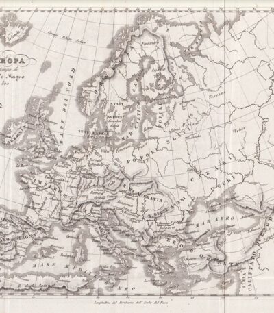
Mappa dell’Europa, 1846

30,00 

Mappa dell’Europa è un’incisione in rame realizzata nel 1846, che rappresenta l’Europa al tempo di Carlo Magno.
This map is taken from the Storia Universale di Cesare Cantù, pubblicata a Torino presso gli Editori Giuseppe Pomba & C.

  • Sheet size: cm. 20×24 approx.
  • Technique: Burin
  • Condition: Good
  • Support: Paper

Mappa dell’Europa, 1846

30,00 

Mappa dell’Europa, 1846 è un’incisione in rame che rappresenta l’Europa alla caduta dell’Impero d’Oriente.
This map is taken from the Storia Universale di Cesare Cantù, pubblicata a Torino presso gli Editori Giuseppe Pomba & C. nel 1846.

  • Sheet size: cm. 20×24 approx.
  • Technique: Burin
  • Condition: Good condition
  • Support: Paper

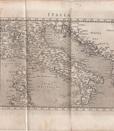
Map of Italy, Scotus, 1761

120,00 

Mappa dell’Italia it is a copper engraving made by Francesco Scotto in 1761.
This map is taken from the work Itinerary of Italy, published in Rome at the expense of Fausto Amidei, Book Merchant.

  • Sheet size: cm. 18×23 approx.
  • Engraving size: cm. 12×18 approx.
  • Support: Laid paper
  • Condition: Excellent state of preservation
  • Folds: Editorials

Map of Asia, 1821

25,00 

Mappa della Asia It is a watercolour copper engraving dating back to 1821.
Questa piccola carta geografica, di dimensioni cm. 9×9 circa, è stampata su un foglio di cm. 13×15 e presenta un retro bianco.
Tratta da un testo francese dell’epoca, si presenta in excellent condition.

  • Sheet size: cm. 13×15 approx.
  • Engraving size: cm. 9×9 approx.
  • Support: Paper
  • Condition: Excellent

Map of Denmark, 1821

25,00 

Map of Denmark It is a watercolour copper engraving dating back to 1821.
This small, moderately sized map is taken from a French text of the time.

  • Sheet size: cm. 13×15 approx.
  • Map dimensions: cm. 9×9 approx.
  • Support: Paper
  • Condition: Excellent condition

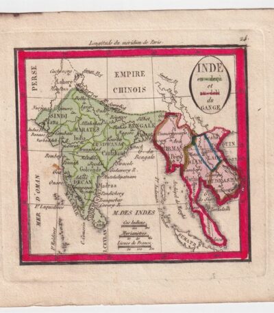
Mappa della India, 1821

25,00 

Mappa della India è un’incisione in rame acquarellata realizzata nel 1821.
Questa piccola carta geografica, di dimensioni contenute, è tratta da un testo francese dell’epoca e presenta un retro bianco.

  • Sheet size: cm. 13×15 approx.
  • Engraving size: cm. 9×9 approx.
  • Support: Paper
  • Condition: Excellent state of preservation

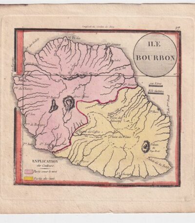
Mappa della Isola Bourbon, 1821

25,00 

Mappa della Isola Bourbon è una piccola carta geografica realizzata nel 1821, rappresentante l’isola La Riunione.
Questa incisione in rame è acquarellata e misura circa cm. 9×9, su un foglio di cm. 13×15, con retro bianco.

  • Sheet size: cm. 13×15 approx.
  • Map dimensions: cm. 9×9 approx.
  • Support: Paper
  • Condition: Excellent condition

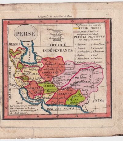
Mappa della Persia, 1821

25,00 

Mappa della Persia è un’incisione in rame acquarellata realizzata nel 1821.
This small, moderately sized map is taken from a French text of the time.

  • Sheet size: cm. 13×15 approx.
  • Engraving size: cm. 9×9 approx.
  • Support: Paper
  • Condition: Excellent state of preservation

Map of Prussia, Austria, 1821

25,00 

Mappa della Prussia, Austria It is a small geographical map made in 1821.
Questa incisione in rame è stata acquarellata e presenta dimensioni di cm. 9×9 about on a sheet of cm. 13×15.

  • Back: White
  • Taken from: French text from 1821
  • Condition: Excellent condition

Map of Russia, 1821

25,00 

Map of Russia It is a watercolour copper engraving dating back to 1821.
This small geographical map, measuring approximately 9x9 cm, is printed on a 13x15 cm sheet, with a white back.
The work is taken from a French text of the time and is presented in excellent condition.

  • Sheet size: cm. 13×15 approx.
  • Engraving size: cm. 9×9 approx.
  • Support: Paper
  • Condition: Excellent

Map of Türkiye, 1821

25,00 

Map of Türkiye, 1821 It is a small geographical map representing Turkey in Europe, made in 1821.
This copper engraving has been watercoloured and has a white backing.

  • Sheet size: cm. 13×15 approx.
  • Map dimensions: cm. 9×9 approx.
  • Support: Paper
  • Condition: Excellent

Map of Türkiye, Asia, 1821

25,00 

Map of Türkiye, Asia It is a watercolour copper engraving dating back to 1821.
This small geographical map measures approximately 9x9 cm on a sheet of 13x15 cm.

  • Back: White
  • Taken from: French text from 1821
  • Condition: Excellent condition

Map of the islands of America, 1821

25,00 

Mappa delle isole dell’America è un’incisione in rame acquarellata realizzata nel 1821.
Questa piccola carta geografica, di dimensioni contenute, offre una rappresentazione dettagliata delle isole americane, ed è tratta da un testo francese dell’epoca.

  • Sheet size: cm. 13×15 approx.
  • Engraving size: cm. 9×9 approx.
  • Support: Paper
  • Condition: Excellent state of preservation

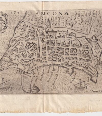
Map of Ancona, Scotus, 1659

90,00 

Map of Ancona it is a copper engraving made in 1659 by Francesco Scoto.
This map is part of the work Itinerary of Italy, published in Padua by Matteo Cadorino.

  • Sheet size: cm. 16×20 approx.
  • Engraving size: cm. 12×17 approx.
  • Support: Light laid paper
  • Condition: Excellent state of preservation
  • Fold: Editorial fold

Explore the fascinating world of antique prints

Antique prints are silent witnesses of history, capable of transporting us to distant eras through the art of engraving. Our e-commerce offers a vast selection of these precious finds, carefully selected for their authenticity and artistic value. Whether you are an expert collector or a novice enthusiast, you will find unique pieces here that will enrich your spaces with a touch of timeless elegance.

A safe and rewarding shopping experience

We understand the importance of each individual print and are committed to ensuring a flawless purchasing experience. Our secure payment system and insured shipping with professional packaging ensure that each piece arrives in the best condition. Our expertise in the sector allows us to offer detailed descriptions and personalized advice, helping you to make informed choices. If you have any questions or specific requests, do not hesitate to contact us: we will be happy to guide you into the wonderful world of antique prints.