Burin

Showing 1393–1416 of 2090 results

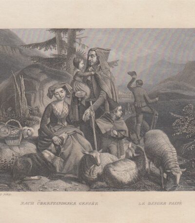
Passaggio pericoloso, 1850

15,00 

Passaggio pericoloso è un’incisione realizzata nel 1850, che cattura un momento di tensione e rischio.
This work is performed with the technique ofEtching and Burin, su carta di medio spessore.

  • Sheet size: cm. 13×16 approx.
  • Engraving size: cm. 12×9 approx.
  • Support: Paper
  • Condition: Excellent condition

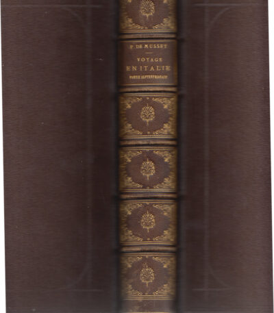
Paul de Musset, Voyage Pittoresque, Partie Septentrionale, 1860

350,00 

Paul de Musset, Voyage Pittoresque, Partie Septentrionale è un volume pubblicato a Parigi nel 1860 da Morizot.
Questo libro, di cm. 26, è composto da pp. viii e 536, e include 23 belle incisioni in rame fuori testo, di cui alcune a colori, ciascuna protetta da velina.

  • Illustratori: MM. Rouargue Freres
  • Incisioni: Disegnate e incise su acciaio dai fratelli Rouargue
  • Content: Raffigura costumi tipici, mestieri e pittoresche vedute di città
  • Binding: In pelle con titolo e fregi dorati al dorso
  • Contropiatti e fogli di guardia: In carta avorio con tagli oro

Questo celebre volume francese sull’Italia ha rappresentato a lungo un’importante introduzione a un viaggio nella penisola.
Esemplare fresco e in excellent condition.

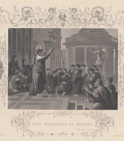
Paul preaching a athens. Paolo predica

25,00 

Paul Preaching at Athens è un’incisione realizzata da J. Rogers, ispirata all’opera di Raffaello.
Questa acquaforte, pubblicata tra il 1830 e il 1850, fa parte della Scripture Gallery of Engraving ed è un esempio pregevole dell’arte incisoria dell’epoca.

  • Sheet size: cm. 27×21 approx.
  • Engraving size: cm. 15×11 approx.
  • Support: Heavy paper with white backing
  • Condition: Excellent state of preservation, with editorial frame and vignettes

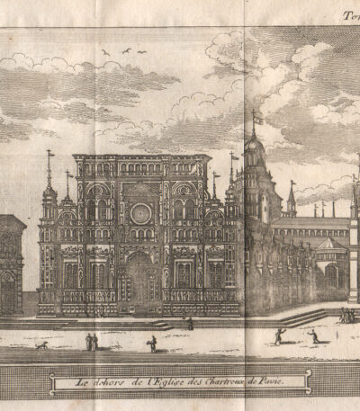
Pavia, 1707, Charterhouse

40,00 

Pavia, 1707, Charterhouse è un’incisione realizzata da Magdeleine Horthemels nel 1707, che rappresenta una veduta della Certosa di Pavia.
This work is taken from the volume The delights of Italy, pubblicato da De Rogissart a Parigi.

  • Sheet size: mm. 150×120
  • Technique: Burin
  • Condition: Excellent
  • Support: Paper

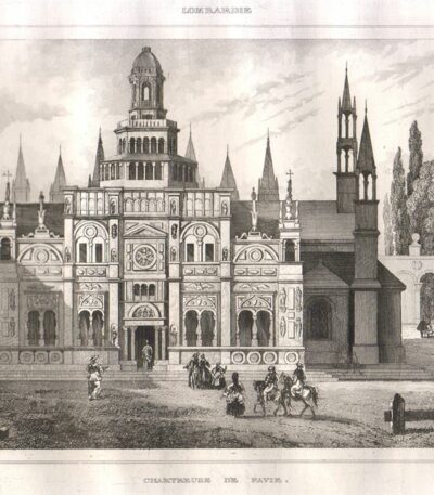
Pavia, 1834 Charterhouse

30,00 

Pavia, 1834 Charterhouse It is an engraving made with the technique of burin su acciaio, datata 1834.
This work comes from the volume Italy picturesque tableau historique and description of Italy… di M. De Norvins e C. Nodiers, pubblicato a Parigi.

  • Sheet size: mm. 170×117 più margini
  • Condition: Good condition
  • Support: Lightweight paper, white back

The press offers a beautiful animated view della cattedrale di Pavia, caratterizzata da una nitidezza e decoratività notevoli.

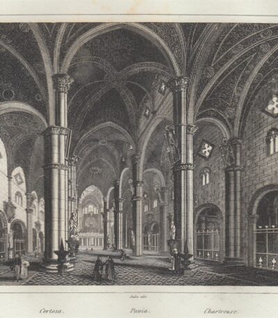
Pavia, Certosa (interior), 1834

25,00 

Pavia, Certosa (interno) It is a steel engraving made between 1834 and 1837.
This work is taken from the volume Italy, Sicily, the Iles Eoliennes, the Ile d'Elbe… by Audot Père, published in Paris.

  • Sheet size: cm. 25×16 approx.
  • Engraving size: cm. 18×10 approx.
  • Support: Light paper
  • Condition: Excellent state of preservation

Questa veduta offre un’immagine animata e decorativa della Certosa di Pavia.

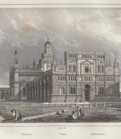
Pavia, Charterhouse, 1834-1837

25,00 

Pavia, Certosa It is a steel engraving made between 1834 and 1837.
This work is taken from the volume Italy, Sicily, les Iles Eoliennes, l'Ile d'Elbe by Audot Père, published in Paris.

  • Sheet size: cm. 25×16 approx.
  • Engraving size: cm. 18×10 approx.
  • Support: Light paper
  • Condition: Excellent

Questa veduta è caratterizzata da un’animazione decorativa che la rende un pezzo affascinante per collezionisti e appassionati di arte.

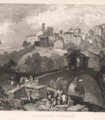
Pelago (Firenze), 1850

30,00 

Pelago (Firenze) It is a burin engraving made in 1850 from James Duffield Harding, a well-known English landscape painter.
This work represents a very fine animated scene della città di Pelago, vista dall’alto, ed è caratterizzata da un’eleganza decorativa.

  • Size of the joke: mm. 140×100 approx.
  • Support: Medium paper with white back
  • Condition: Excellent

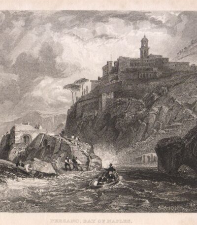
Persano, Salerno, 1840

30,00 

Persano, Salerno è un’incisione in acciaio realizzata nel 1840, che offre una splendida veduta dal mare della località, con barche e pescatori intenti nelle loro attività quotidiane.
Questa opera è caratterizzata da dettagli vividi e una composizione che cattura l’essenza della vita marittima.

  • Sheet size: mm. 195×125
  • Engraving size: mm. 140×102
  • Support: Paper
  • Condition: Excellent

Pescatore Napoletano, 1850

30,00 

Pescatore Napoletano è un’incisione realizzata nel 1850, che cattura l’essenza della vita marittima napoletana.
This work is made with the technique of burin on steel, and was hand-watercoloured, giving it a unique and artistic touch.

  • Sheet size: mm. 90×105
  • Support: Medium paper
  • Condition: Perfect state of preservation
  • Back: White

Shrimp Fishermen, 1850

20,00 

Pescatori di gamberetti It is an engraving made in 1850, che rappresenta un affascinante momento della vita dei giovani pescatori di gamberetti.
This work is taken from the Art Journal Engraving e presenta una combinazione di etching and burin.

  • Sheet size: cm. 32×24 approx.
  • Condition: Excellent state of preservation
  • Support: Strong engraving paper

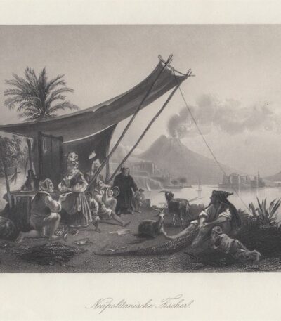
Neapolitan Fishermen, 1850

30,00 

Pescatori Napoletani è un’incisione realizzata da W. French nel 1877, che rappresenta una vivace scena di pescatori a Napoli.
Questa acquaforte al bulino mostra numerosi personaggi in un contesto dinamico, con il Vesuvius fumante sullo sfondo, creando un contrasto affascinante.

  • Sheet size: cm. 27×20 circa
  • Engraving size: cm. 20×15 approx.
  • Support: Medium thickness paper
  • Condition: Excellent state of preservation

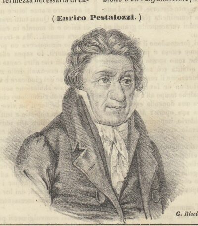
Pestalozzi Enrico, 1844

15,00 

Pestalozzi Enrico è un’incisione su rame realizzata nel 1844, tratta dall’Picturesque Omnibus.
Questa opera presenta un’incisione di dimensioni cm. 10×12 circa, con testo sia intorno che al verso.

  • Sheet size: Small
  • Condition: Excellent
  • Support: Paper

Johann Heinrich Pestalozzi, nato a Zurigo il 12 gennaio 1746 e deceduto a Brugg il 17 febbraio 1827, è stato un importante pedagogista e riformista svizzero. È noto per il suo contributo all’educazione e al sistema scolastico, oltre ad essere un filosofo impegnato in politica.
La stampa verrà spedita insieme alla pagina intera tratta dal libro.

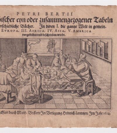
Petrus Bertius (1565-1629), Frontespizio, 1612

40,00 

Petrus Bertius (1565-1629), Frontespizio è un’incisione realizzata nel 1612, tratta dall’opera Petri Bertii Geographischer eyn oder zusammengezogener Tabeln Funff unterschiedliche Bucher.
Questa incisione presenta una dimensione di cm. 7×13 e si trova su carta vergellata con dimensioni di cm. 12×17, dotata di retro bianco.

  • Condition: Excellent condition
  • Support: Laid paper

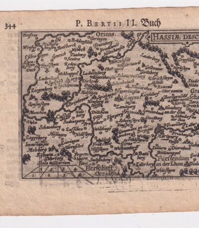
Petrus Bertius, Hesse,1612

40,00 

Petrus Bertius, Hesse It is an original map made in 1612 by Petrus Bertius (1565-1629), a well-known Dutch geographer.
This map is taken from the volume Petri Bertii Geographischer eyn oder zusammengezogener Tabeln Funff unterschiedliche Bucher.

  • Paper size: mm. 125×83
  • Sheet size: cm. 12×17
  • Support: Laid paper
  • Condition: Excellent condition

Philippus Cluverius (1580-1622), Germania, 1686

80,00 

Philippus Cluverius è un’incisione in rame acquarellata realizzata nel 1686, proveniente dall’opera Introductionis in universam geographiam, tam veterem quam novam, libri VI, published in Amsterdam.
Questa incisione rappresenta un’importante testimonianza della geografia del XVII secolo e misura mm. 134×140.

  • Sheet size: Small
  • Engraving size: mm. 134×140
  • Support: Laid paper
  • Condition: Excellent

Philippus Cluverius (1580-1622), England, 1686

80,00 

Philippus Cluverius (1580-1622) presents a map of England, part of the British Isles, dated 1686.
This copper engraving is watercolour and comes from the work Introductionis in universam geographiam, tam veterem quam novam, libri VI, published in Amsterdam in 1686.

  • Sheet size: mm. 134×140
  • Technique: Burin
  • Support: Laid paper
  • Condition: Excellent

Philippus Cluverius (1580-1622), Liguria, 1686

80,00 

Philippus Cluverius è un’incisione in rame acquarellata realizzata nel 1686, rappresentante la Liguria, Italia Settentrionale.
This work is taken from the volume Introductionis in universam geographiam, tam veterem quam novam, libri VI, published in Amsterdam.

  • Sheet size: mm. 134×140
  • Support: Laid paper with partial watermark
  • Condition: Excellent condition

Philippus Cluverius (1580-1622), Map of Europe, 1686

80,00 

Philippus Cluverius – Map of Europe It is a watercolour copper engraving made in 1686.
This map is taken from the work Introductionis in universam geographiam, tam veterem quam novam, libri VI, published in Amsterdam.

  • Sheet size: mm. 134×140
  • Technique: Burin
  • Support: Laid paper
  • Condition: Excellent condition

Philippus Cluverius (1580-1622), Mappa della Armenia 1686

60,00 

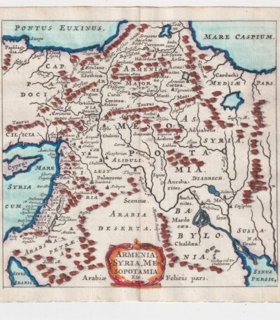
La Mappa della Armenia It is an engraving made by Philippus Cluverius nel 1686, che rappresenta non solo l’Armenia, ma anche la Siria e la Mesopotamia.
This map is taken from the work Introductionis in universam geographiam, tam veterem quam novam, libri VI, published in Amsterdam.

  • Sheet size: mm. 134×140
  • Technique: Incisione in rame acquarellata
  • Support: Laid paper
  • Condition: Excellent condition

Philippus Cluverius (1580-1622), Map of China, 1686

70,00 

Philippus Cluverius (1580-1622) presents a map of China and Japan, built in 1686.
This copper engraving is watercolour and comes from the work Introductionis in universam geographiam, tam veterem quam novam, libri VI, published in Amsterdam.

  • Sheet size: mm. 134×140
  • Technique: Burin
  • Support: Laid paper
  • Condition: Excellent

Philippus Cluverius (1580-1622), Map of Dacia, 1686

60,00 

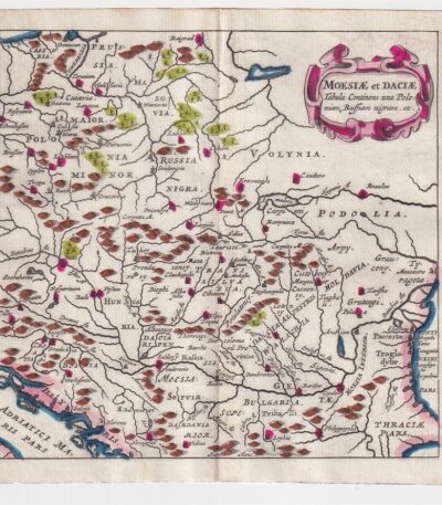
Philippus Cluverius – Map of Dacia It is a watercolour copper engraving made in 1686.
This map represents Dacia, Hungary, Poland and Moesia, and is taken from the work Introductionis in universam geographiam, tam veterem quam novam, libri VI, published in Amsterdam.

  • Sheet size: mm. 134×140
  • Technique: Burin
  • Support: Laid paper
  • Condition: Excellent

Philippus Cluverius (1580-1622), Mappa della Francia, 1686

80,00 

La Mappa della Francia It is an engraving made by Philippus Cluverius nel 1686.
This map, part of the work Introductionis in universam geographiam, tam veterem quam novam, è un esempio significativo della cartografia del XVII secolo.

  • Sheet size: cm. 13.4×14 approx.
  • Engraving size: cm. 13.4×14 approx.
  • Support: Laid paper
  • Condition: Excellent state of preservation

Philippus Cluverius (1580-1622), Mappa della Germania 1686

60,00 

Philippus Cluverius (1580-1622) presents a Mappa della Germania Inferiore, built in 1686.
This copper engraving is watercolour and comes from the work Introductionis in universam geographiam, tam veterem quam novam, libri VI, published in Amsterdam in 1686.

  • Sheet size: mm. 134×140
  • Technique: Burin
  • Support: Laid paper
  • Condition: Excellent

Explore the fascinating world of antique prints

Antique prints are silent witnesses of history, capable of transporting us to distant eras through the art of engraving. Our e-commerce offers a vast selection of these precious finds, carefully selected for their authenticity and artistic value. Whether you are an expert collector or a novice enthusiast, you will find unique pieces here that will enrich your spaces with a touch of timeless elegance.

A safe and rewarding shopping experience

We understand the importance of each individual print and are committed to ensuring a flawless purchasing experience. Our secure payment system and insured shipping with professional packaging ensure that each piece arrives in the best condition. Our expertise in the sector allows us to offer detailed descriptions and personalized advice, helping you to make informed choices. If you have any questions or specific requests, do not hesitate to contact us: we will be happy to guide you into the wonderful world of antique prints.